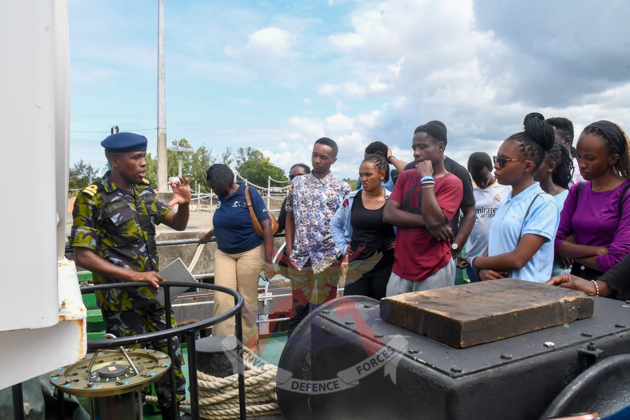
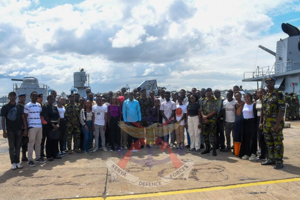
Practical exposure is essential in equipping future geospatial engineers with the knowledge and skills required to address real-world maritime and environmental challenges. In line with this objective, fourth-year Geospatial Engineering students from University of Nairobi visited the Kenya Navy for an educational tour aimed at enhancing their understanding of maritime operations and geospatial applications.
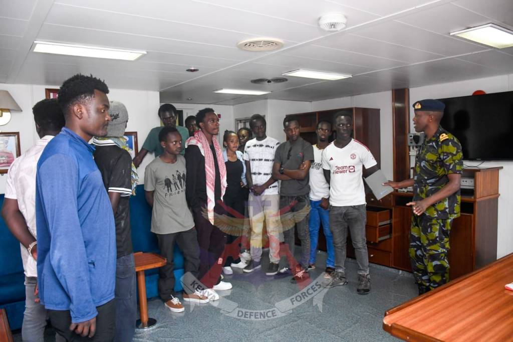
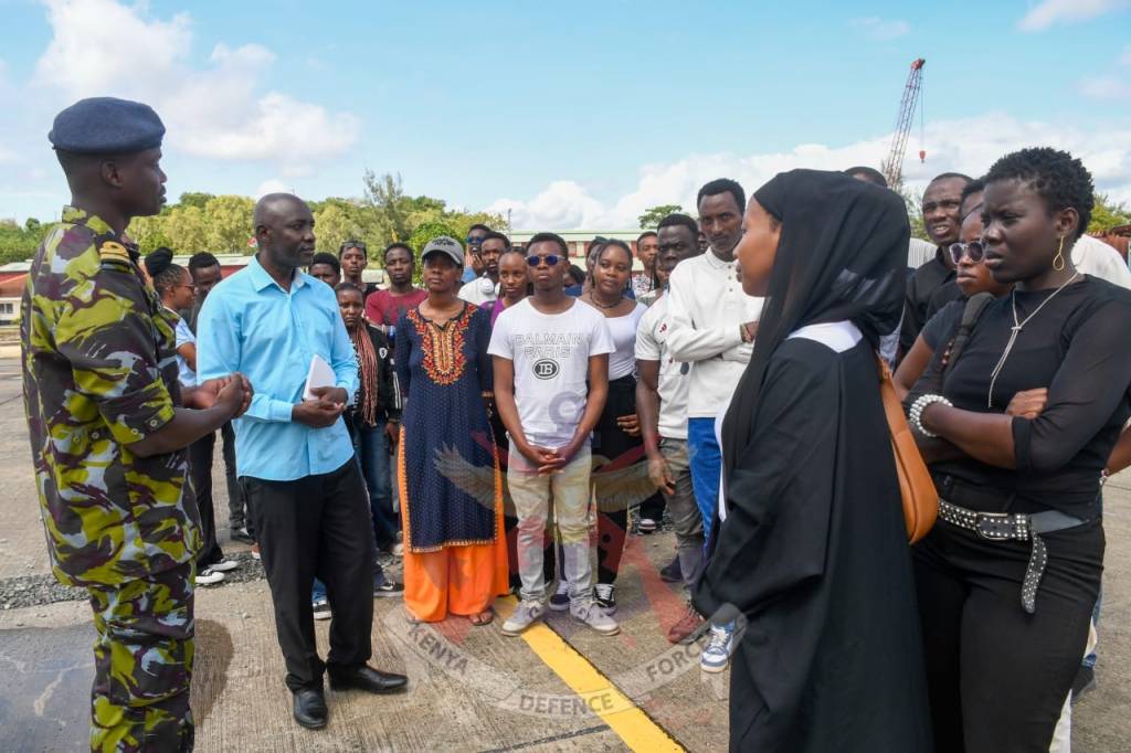
The students began their visit at the Kenya Naval Training College (KNTC), where they were received and taken through a series of presentations at the KNTC debriefing room. The briefings focused on topics related to their course, highlighting the role of geospatial technologies in hydrography, navigation, maritime security and oceanographic operations.
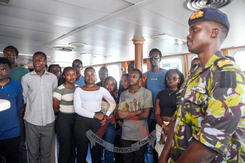
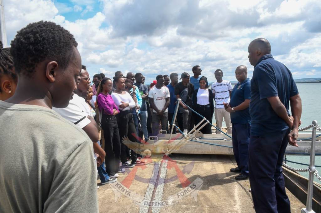
The students later proceeded to the Kenya Navy Fleet, where they boarded Kenya Navy Ship (KNS) Jasiri for a sea experience. During the voyage, they were given a guided tour of the ship, gaining firsthand insight into its onboard systems and the critical role naval vessels play in safeguarding Kenya’s maritime interests.
The educational visit culminated aboard the Research Vessel (RV) Mtafiti, where the students toured the ship and visited its laboratory facilities. They were taken through the vessel’s scientific equipment and research capabilities, learning how hydrographic surveys, oceanographic research and marine data collection support safe navigation, environmental conservation and sustainable management.
The visit provided the students with a valuable opportunity to bridge classroom knowledge with practical experience while deepening their appreciation of the Kenya Navy’s contribution to maritime security, scientific research and the advancement of geospatial engineering in Kenya.
Add Comment